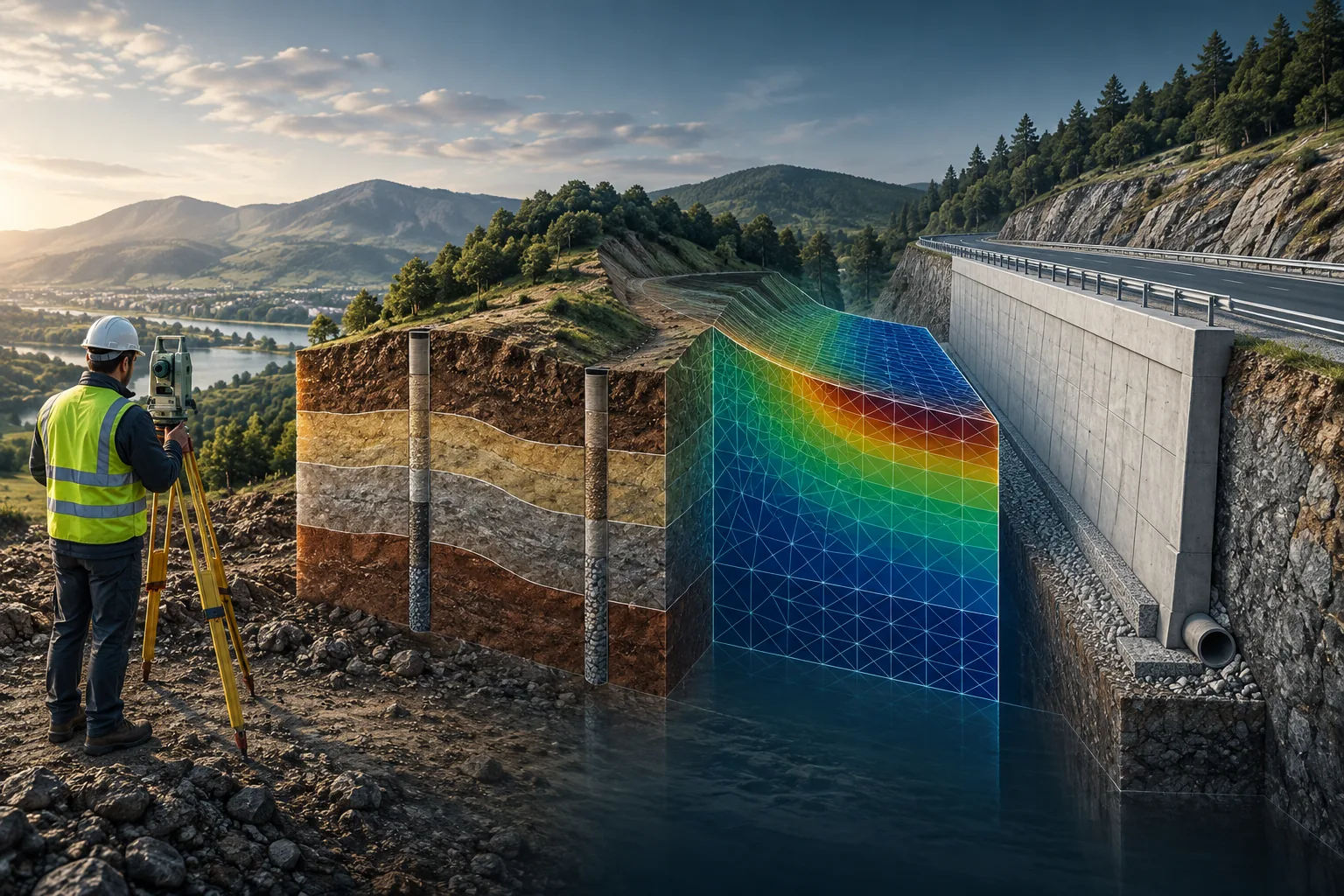
01
Intuitive workflow
A unified environment with a consistent working sequence across the different programs.
Specialized software · distribution in Mexico
Model subsurface conditions, analyze geotechnical problems and design foundations, excavations, slopes, retaining walls and underground structures within an integrated working environment.
Software developed by Fine Software and distributed in Mexico by Artieda Consulting Solutions.
One platform, multiple levels of analysis
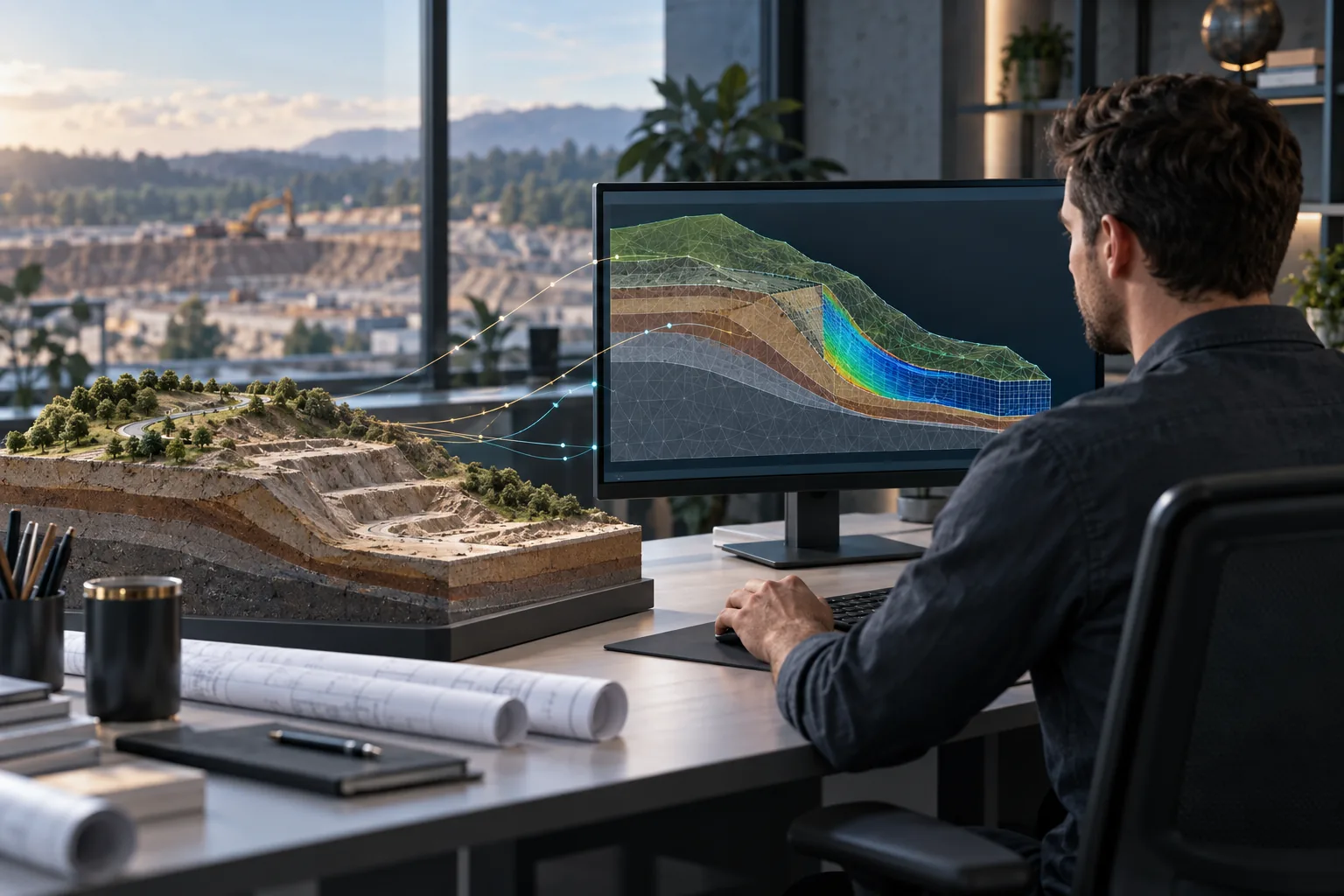
GEO5 combines analytical procedures, geological modeling and finite element methods within a unified interface. This makes it possible to select the appropriate level of analysis, compare results and keep project information connected.
A unified environment with a consistent working sequence across the different programs.
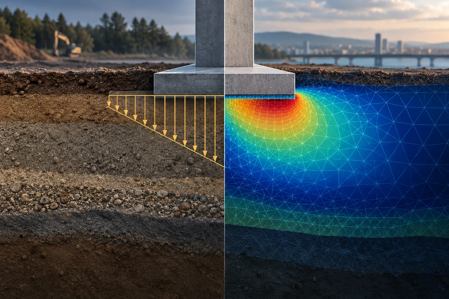
Solve and compare problems using analytical procedures and finite element models.
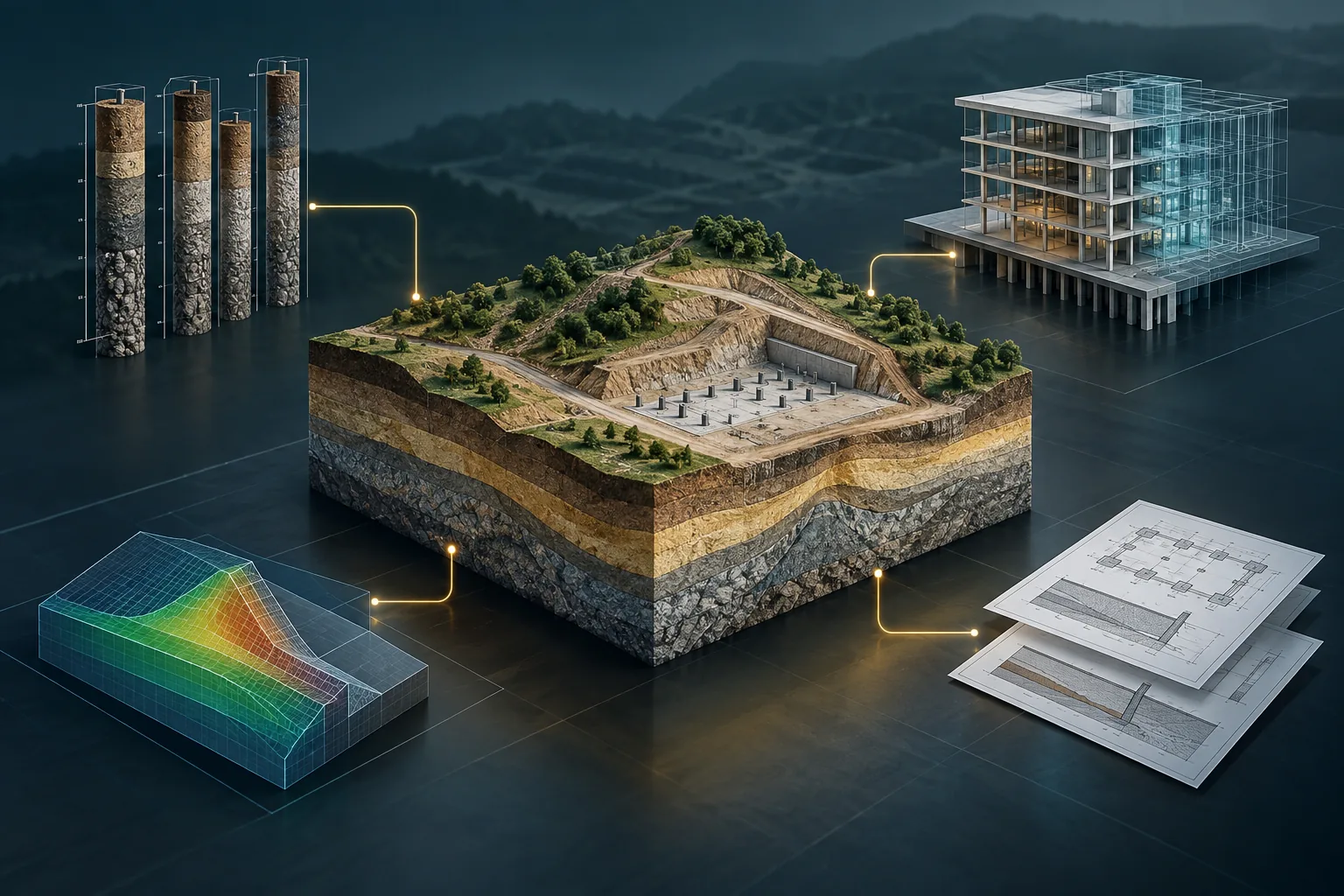
Transfer data between programs to reduce repetitive input and maintain project coordination.
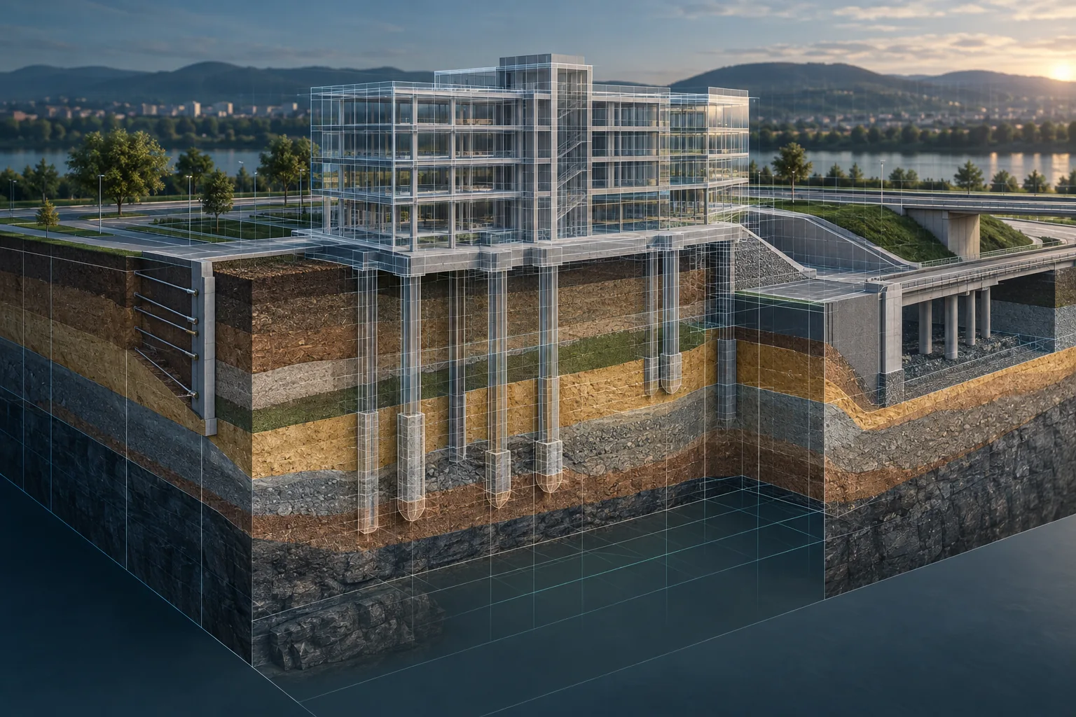
Exchange models and information through formats used in BIM and CAD workflows.
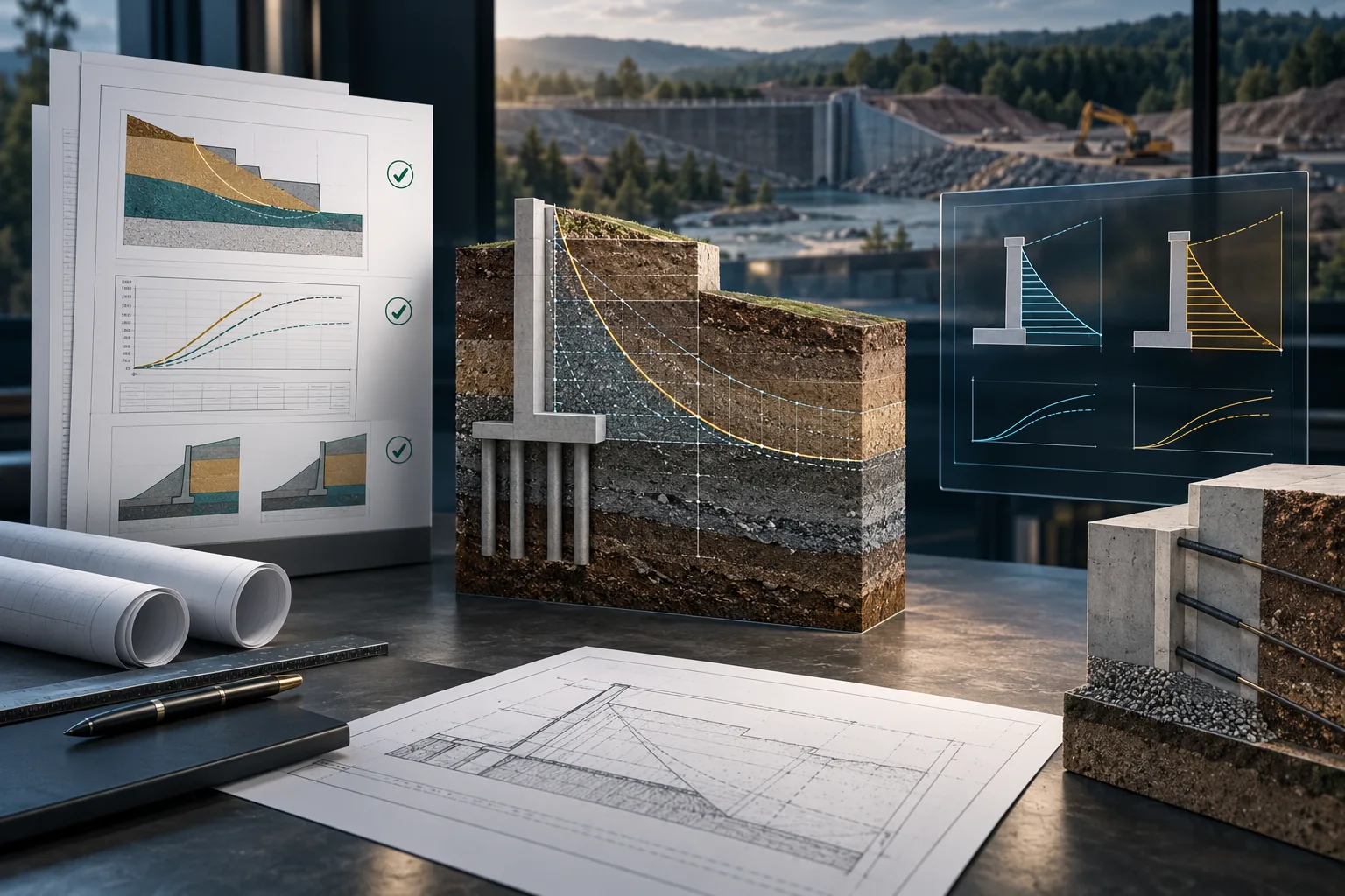
Configure different standards, analysis methods and verification criteria.
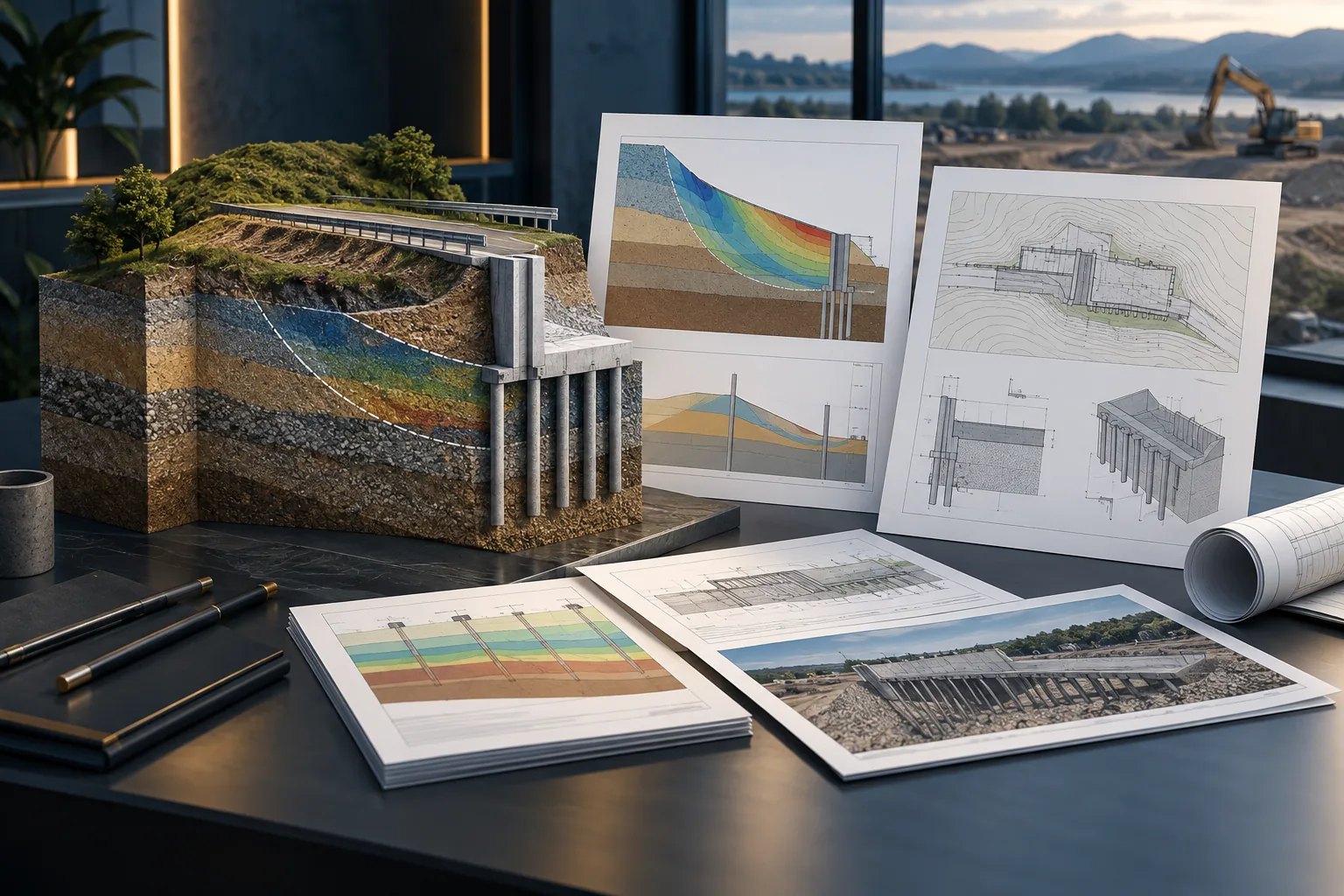
Generate editable, exportable and configurable calculations, graphics and technical reports.
Application areas
Select the type of problem you need to analyze and discover the related GEO5 tools.
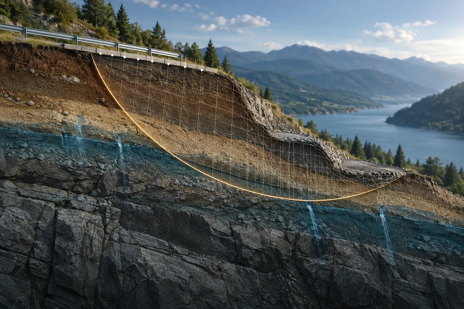
Evaluate the stability of slopes, embankments and rock masses under different geotechnical conditions.
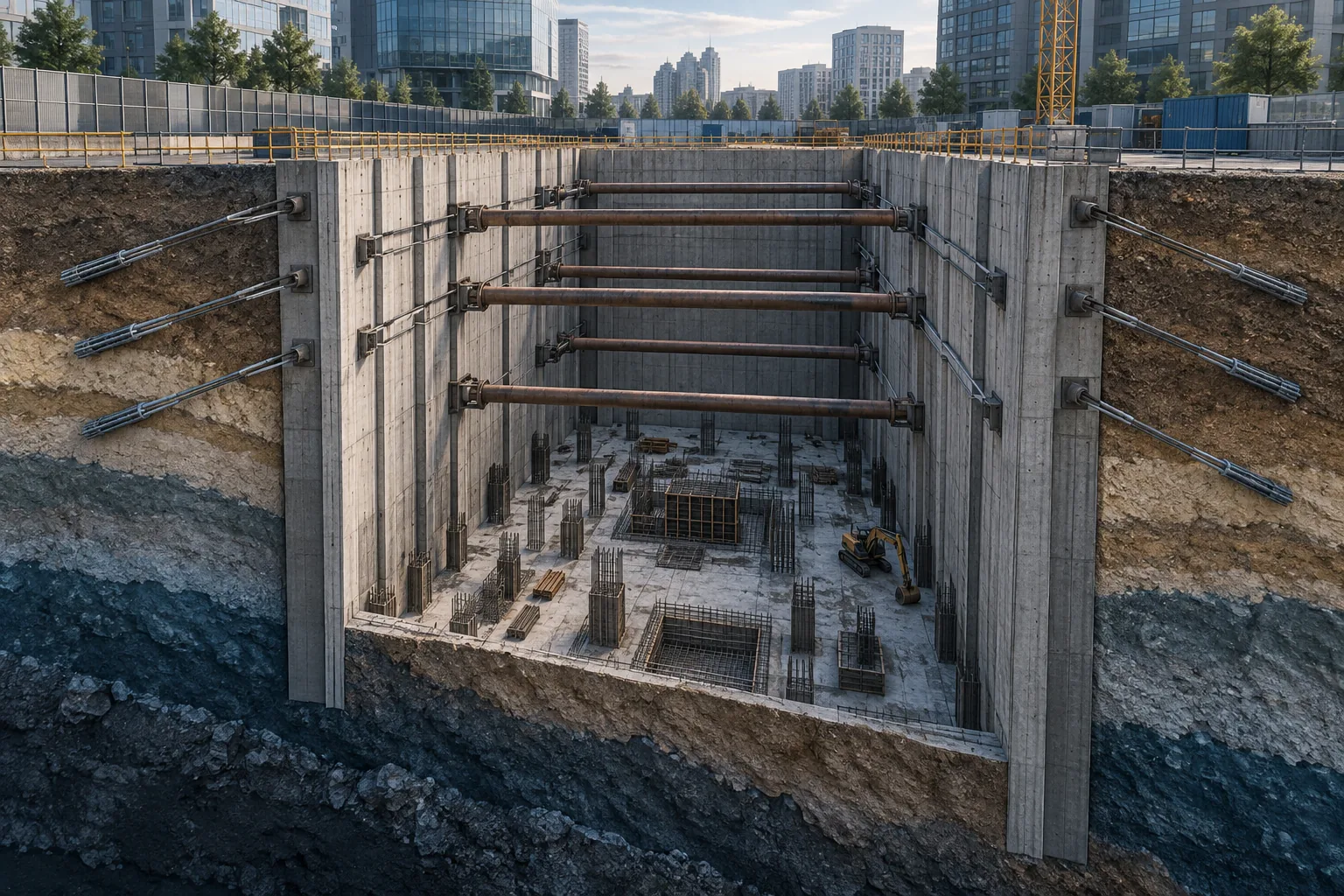
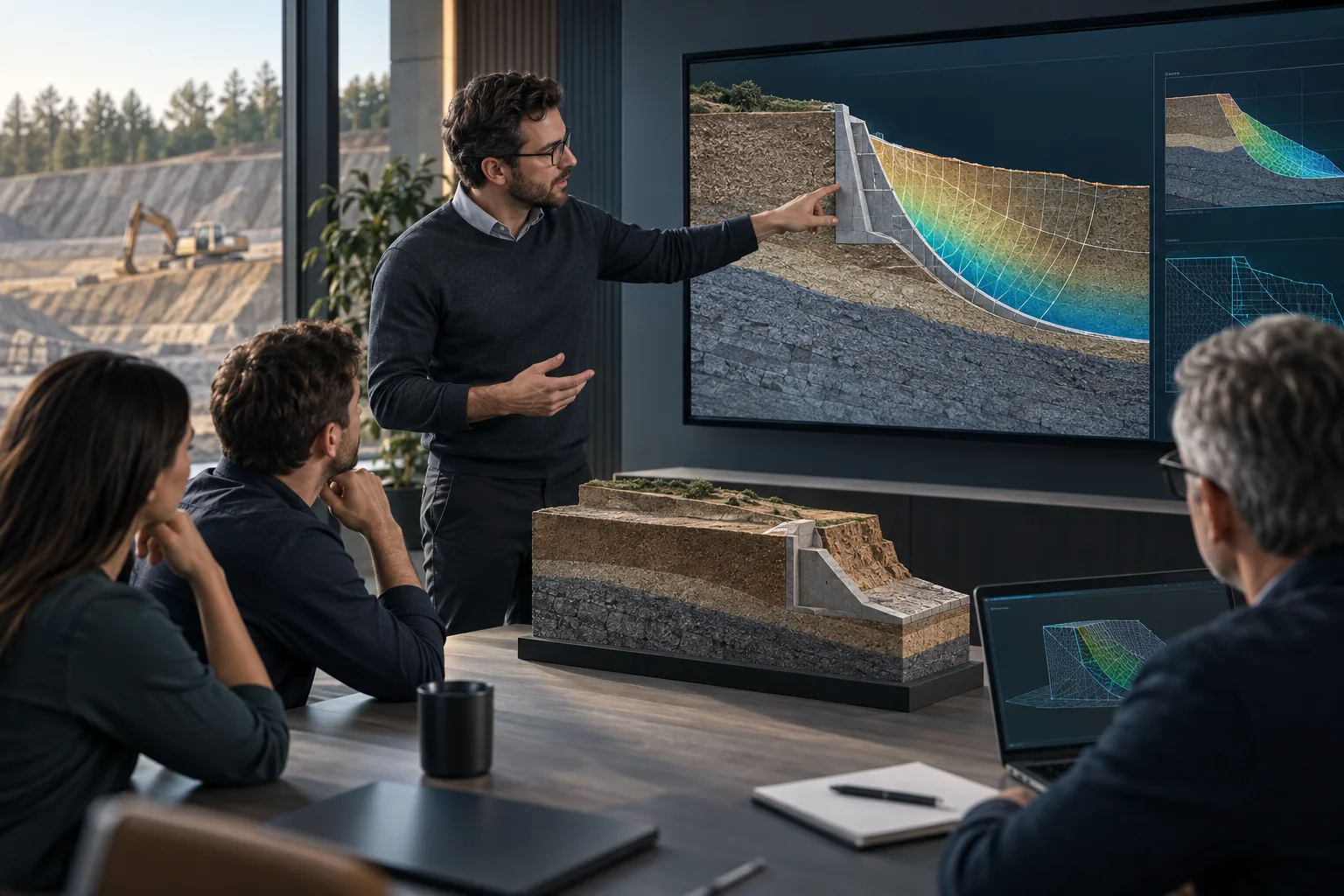
Analyze diaphragm walls, sheet piles, anchors and deep excavations while considering construction stages.
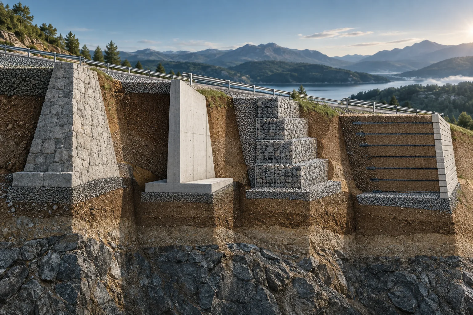
Design and verify different earth-retaining systems.
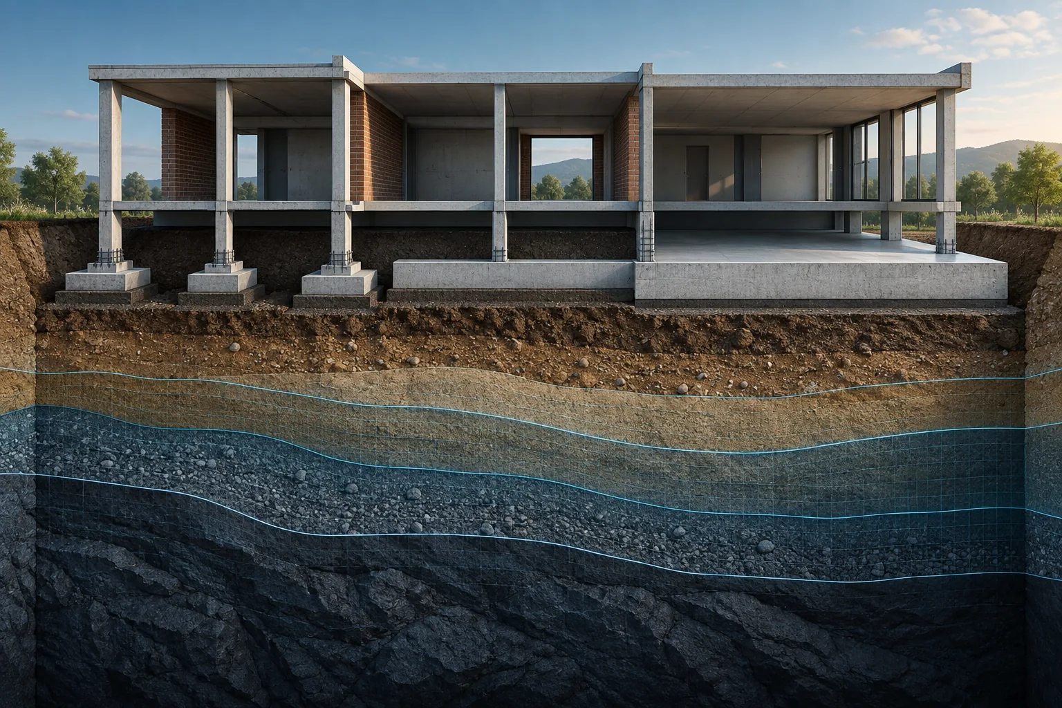
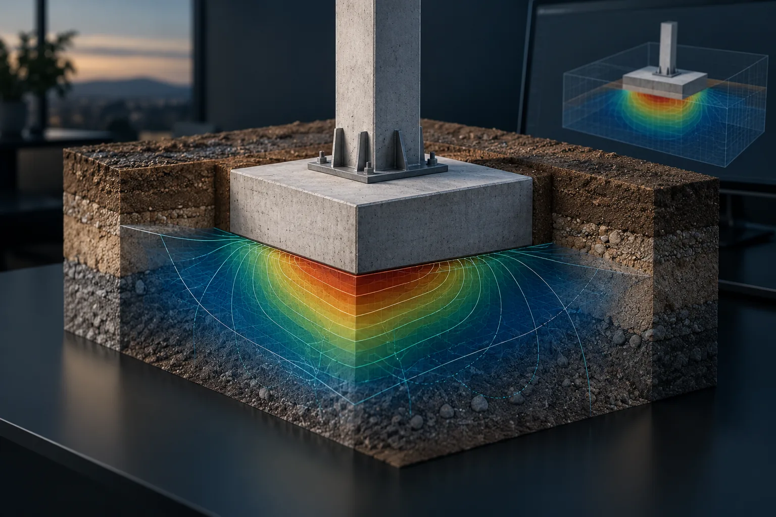
Analyze bearing capacity, deformation and the behavior of foundations supported directly on the ground.
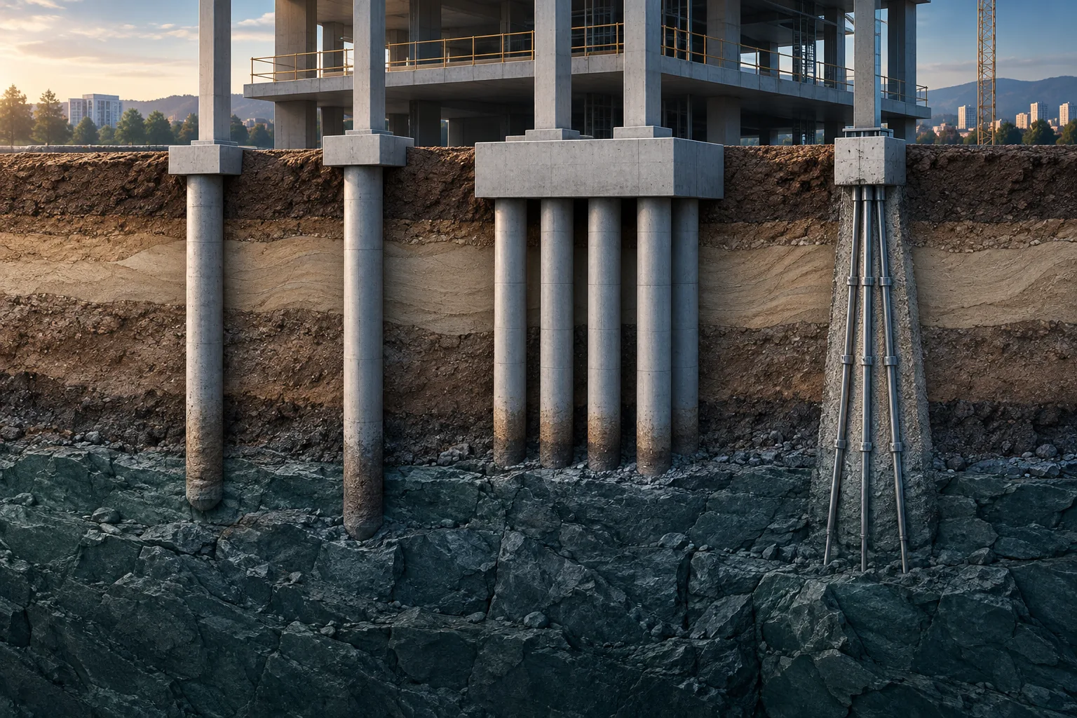
Size and verify piles, pile groups, micropiles and other deep-foundation systems.
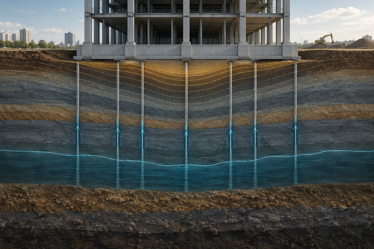
Evaluate ground deformation and how it evolves over time.
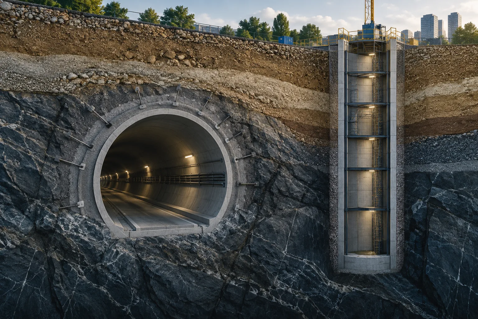
Analyze ground behavior around underground excavations.
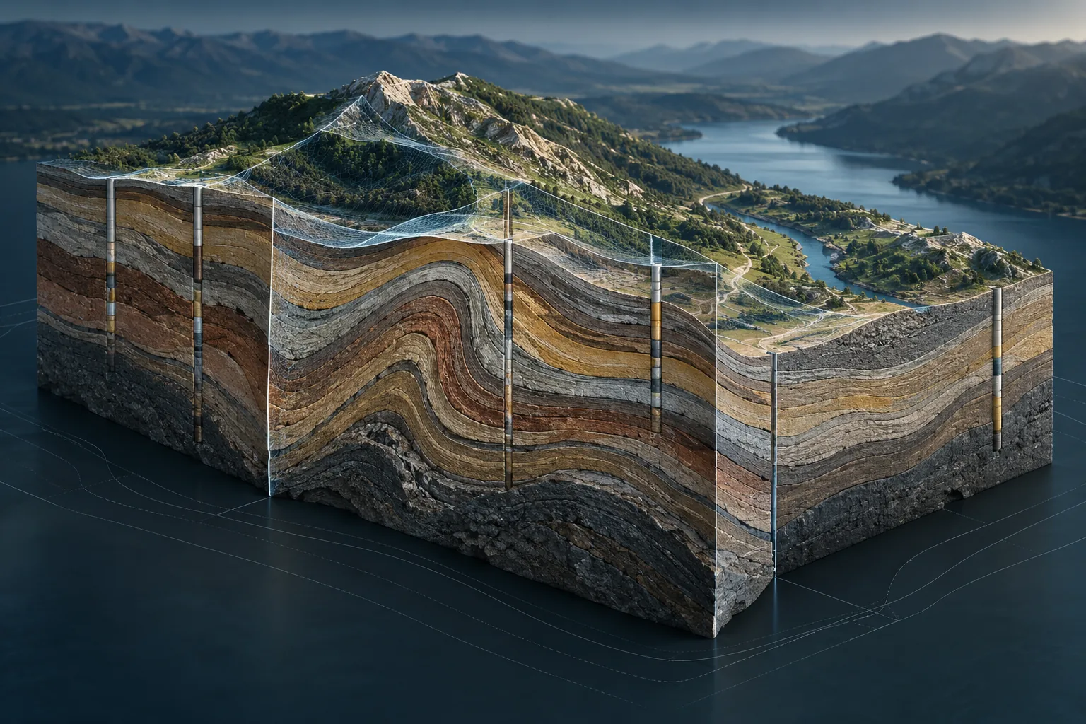
Build stratigraphic models, geological profiles and three-dimensional representations of the subsurface.
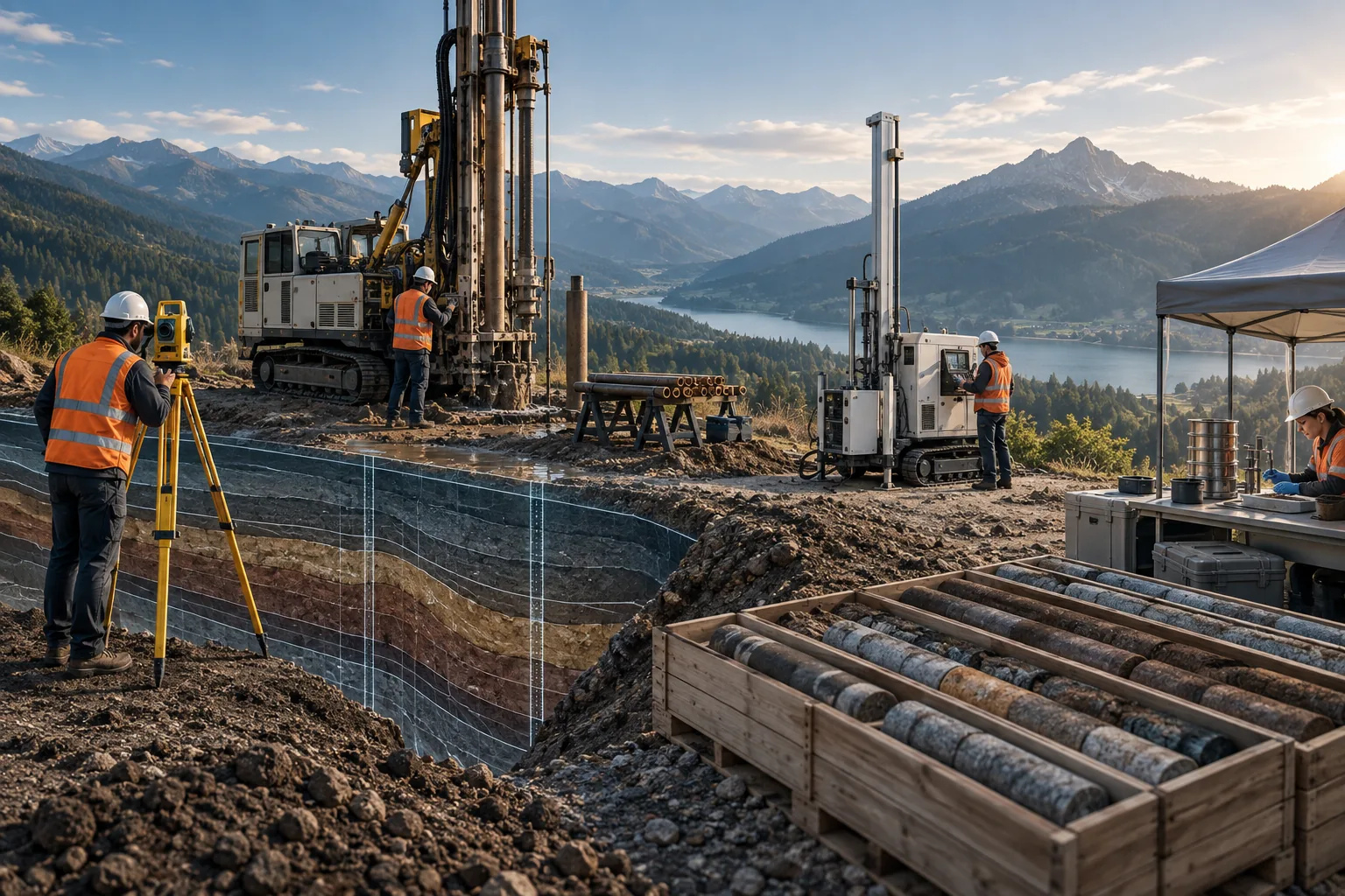
Organize information from boreholes, field testing and laboratory results.
GEO5 workflow
Record boreholes, tests, points of interest and geotechnical information obtained in the field or from existing files.
Build the stratigraphic model, ground profiles and groundwater conditions.
Evaluate stability, pressures, bearing capacity, settlement and ground behavior.
Size foundations, walls, piles, excavations and other geotechnical solutions.
Exchange information with other disciplines and generate drawings, graphics, calculations and technical reports.
Packages and licensing
The suite can be configured through individual programs, specialized packages or comprehensive solutions, depending on the type of projects and number of users.
For companies and specialists who need to solve a specific type of geotechnical problem.
Request a quote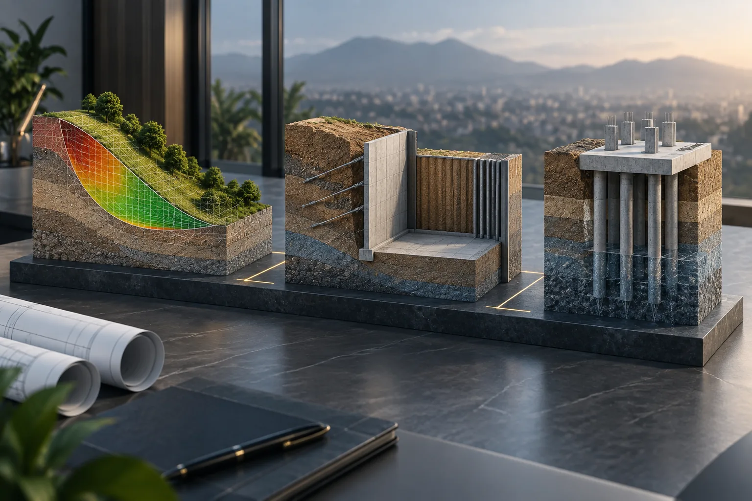
Combinations of programs focused on areas such as foundations, geology, walls, excavations or stability.
Request a quote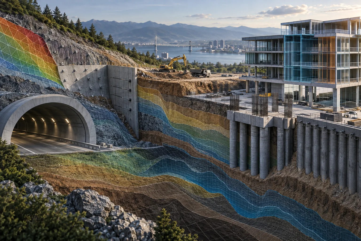
A comprehensive configuration for organizations that perform multiple types of geotechnical analysis and design.
Request a quoteArtieda + GEO5
Purchasing GEO5 through Artieda gives you a local channel to assess requirements, request quotations and follow the acquisition process.
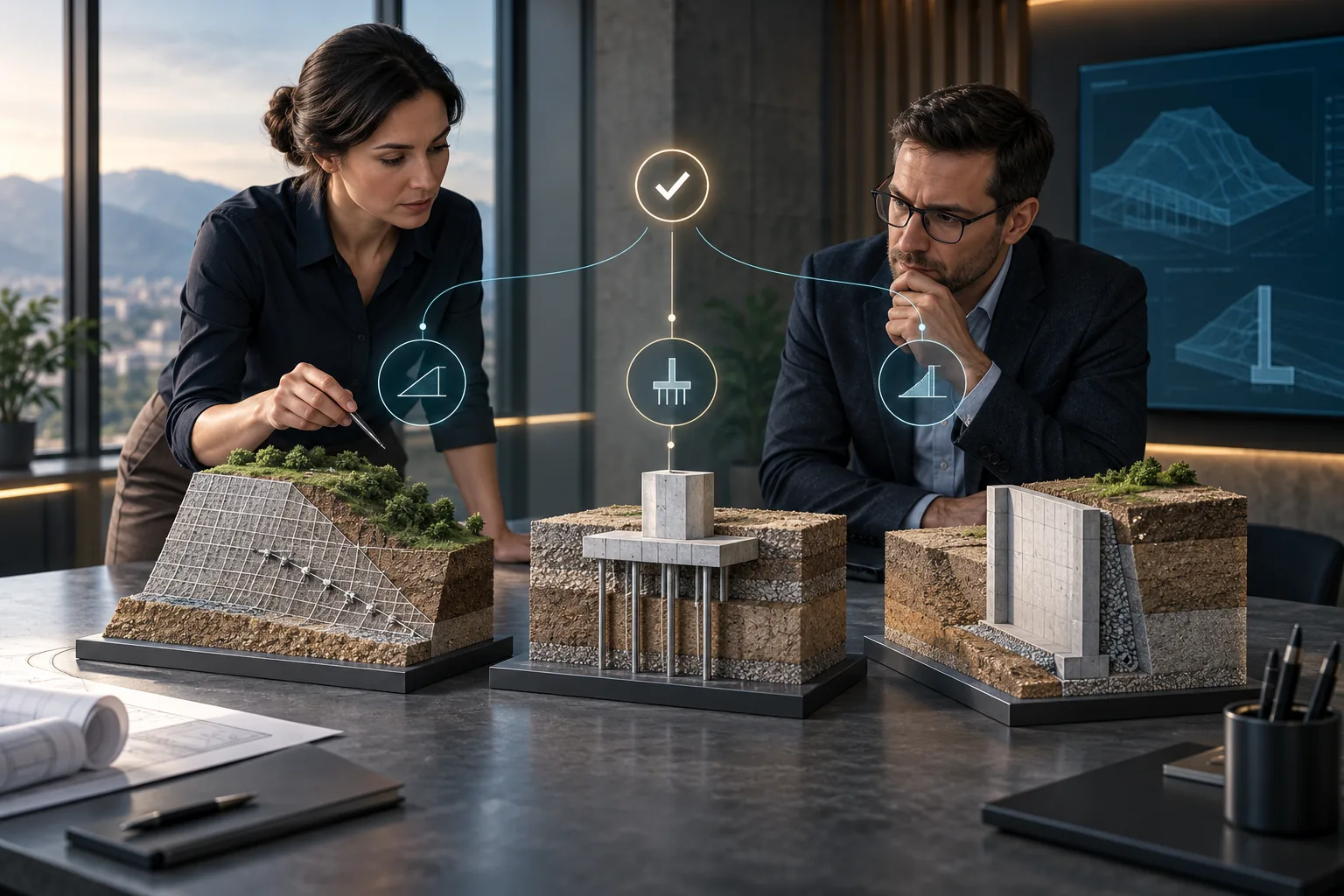
Guidance to identify the programs, packages and licenses that best match the client’s applications.
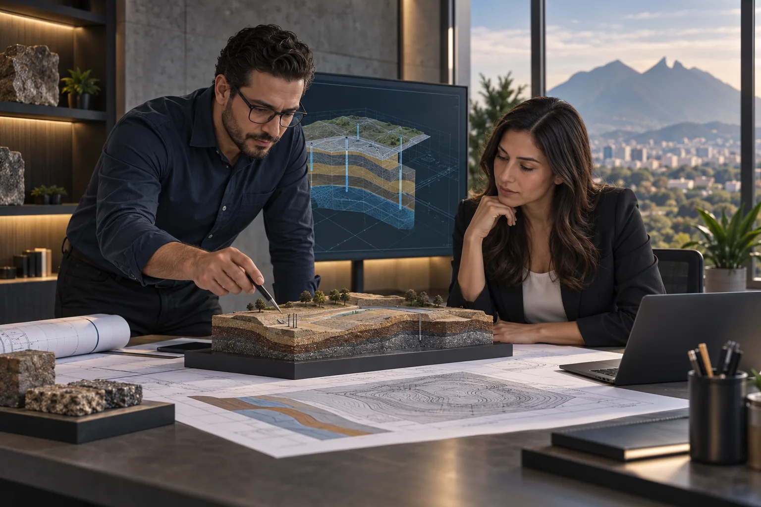
Follow-up for requests, quotations and acquisition processes in Mexico.
Initial guidance for starting to use the software, subject to the scope and conditions of the contracted service.
Access to information about manuals, demonstrations and available training options.
Useful information
GEO5 is a suite of specialized programs for geological investigation, geotechnical analysis and the design of solutions such as foundations, slopes, excavations, retaining walls, piles and tunnels.
Yes. GEO5 can be configured through individual programs, specialized packages or a comprehensive suite, according to the user’s needs.
The selection depends on the type of analysis, the projects carried out by the organization and the number of users. Artieda can help you evaluate the most convenient configuration.
GEO5 can work with three-dimensional geological models and exchange information through formats used in BIM and CAD environments, including IFC, LandXML, DWG and DXF.
Yes. The suite can incorporate and organize geological and geotechnical information from boreholes, field tests and laboratory results.
Complete the form on this page and indicate the type of project, programs of interest and estimated number of users. The Artieda team will follow up on your request.
Advice and quotations
Tell us what type of analysis you need to perform. Our team will help you identify the most suitable programs, packages and licensing options.